More Coming Soon
Art, Afrofuturism, and Geography: Designing an Equitable and Feminist Future.
Connect.
Meet Black professionals working across spectrums of the geographic information systems industry.
Start Networking.
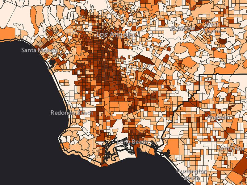
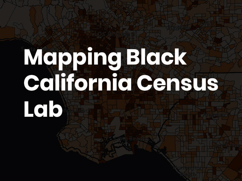
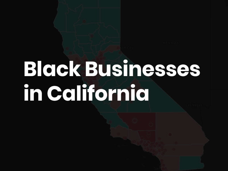
Create.
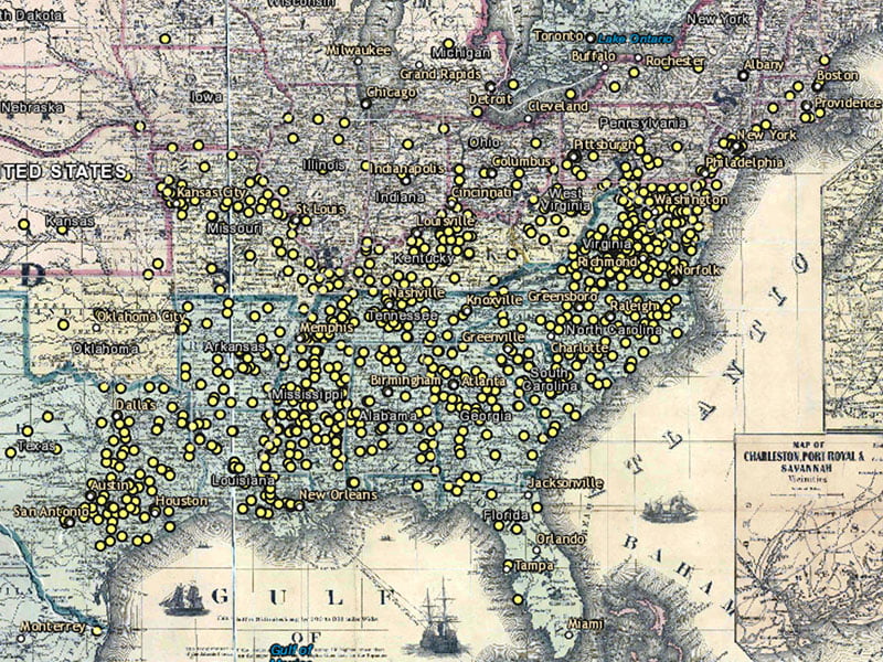
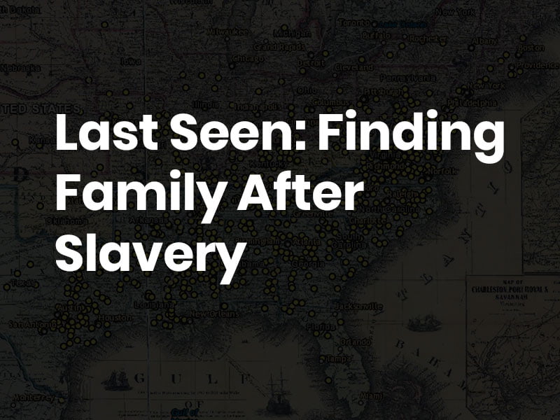
Create location intelligence-based solutions for your cause, storytelling content, or company.
See Examples.
Learn.
Learn more about GIS and location intelligence technology as a career or field of study.
Learn More.


Community Partners